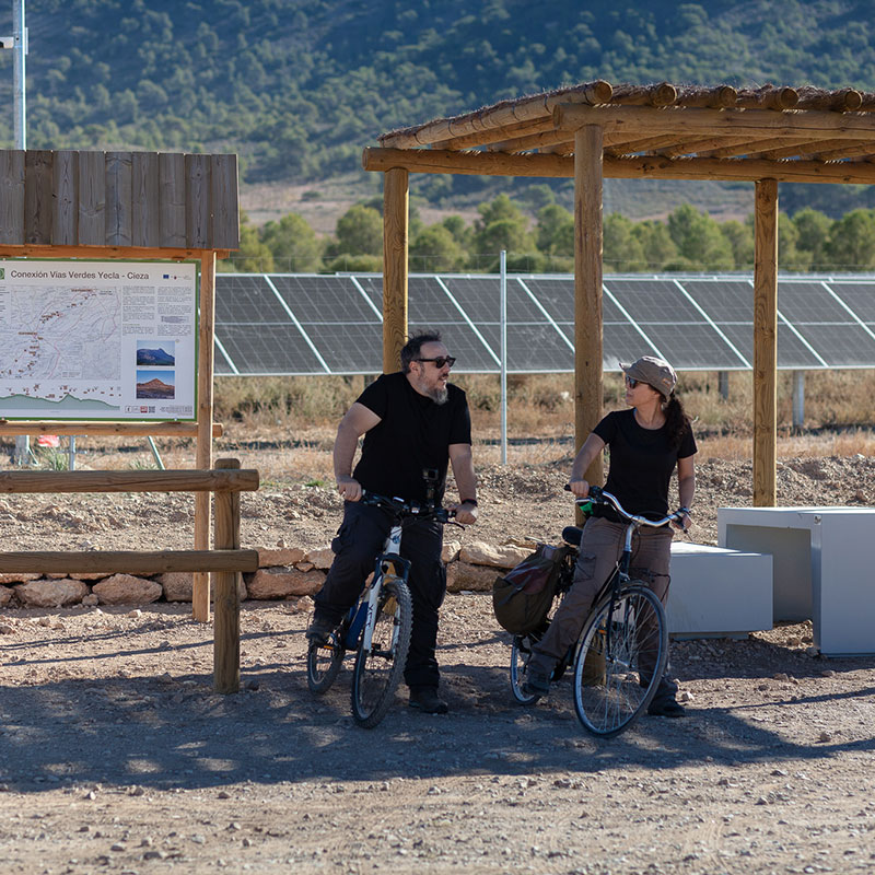
Connection between Greenways: Chicharra Yecla - Cieza
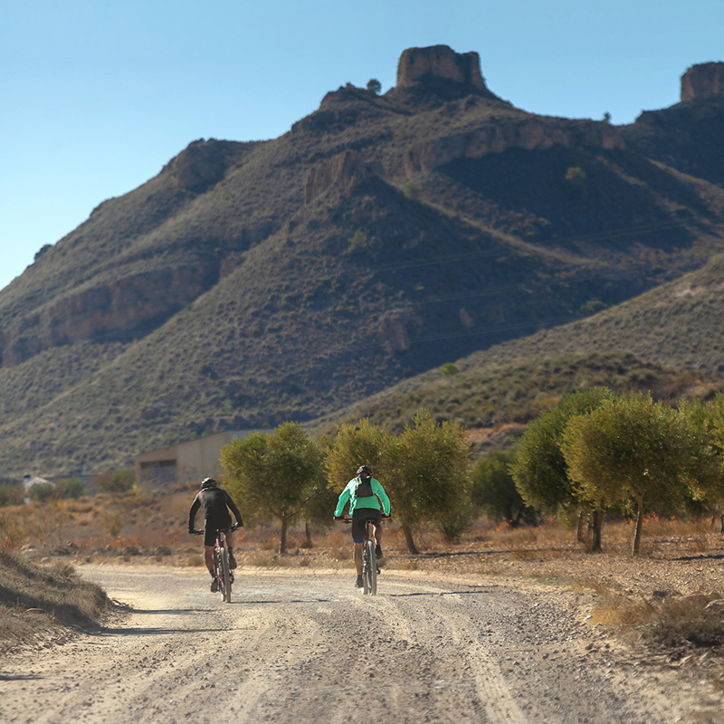
The connection between the Chicharra Greenways of Yecla and Cieza runs along tracks and rural roads, on dirt or paved, with little road traffic to enable their shared use by hikers and cyclists. In any case, as it is not a "greenway"
with exclusive use, special caution must be taken when traveling this route on foot or by bicycle.
This itinerary is part of the "Camino de la Vera Cruz", which begins in Navarra, passes through Yecla and ends in the jubilee city of Caravaca de la Cruz.
BROCHURE CONNECTION BETWEEN GREENWAYS: CHICHARRA DE YECLA CIEZA ![]()
Section 1. Yecla - Jumilla (26,6 km)
The itinerary begins - or ends - at the old Yecla railway station, the end of the "Chicharra Yecla Greenway" and
leaves the city in a southwesterly direction along a path at the foot of the shade of the Sierra del Buey, between fields
of cultivation (vineyards, olive trees, almond trees, mainly).
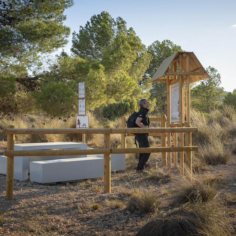
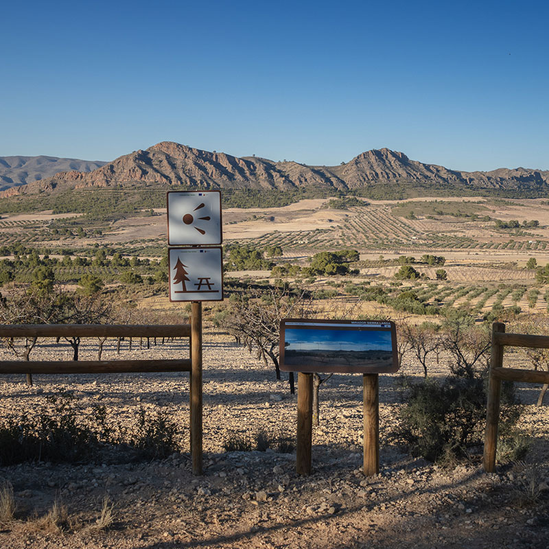
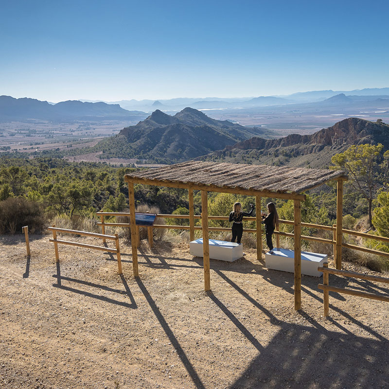
Along the way there are several rest areas and viewpoints enabled. The section ends next to the Jumilla Tourist Office
Section 2: Jumilla - Chicharra Cieza Greenway (28.4 km)
It leaves the city of Jumilla towards the Sierra de Santa Ana. At the foot of the mountain range, a 16.9 km cycling alternative path, shorter and with less gradient, has been signposted. However, the main route (4.5 km longer) continues towards the convent of Santa Ana and then along the forest track in the shade of the Sierra Larga, where rest areas and viewpoints of this mountainous area have also been arranged.
At the end of the track the cycling variant begins, and the route ends up connecting with the end of the "Chicharra Cieza Greenway", near the Reception Area of "Casa del Manchego". From there you can continue to the city of Cieza
along the Greenway and the signposted cycling connection.


